Bratton Clovelly One-Place Study
Bringing together family history and local history
Main menu
Skip to content
Home
Blog
Records
Themes
Place Profile
Archaeology
Domesday
Medieval Manor
Places of Worship
Listed Buildings
Maps
Modern
1851 Boundaries
1845 Tithe Map
1845 Bratton Town
1086 Domesday
Vision of Britain
Roll of Honour
Studies
Population
Nonconformity
Migration
Land Use
Surnames
Occupations
Gallery
Landmarks
Village
Beyond the Village
Church & Chapels
Sources
Record Sets
Parish History
Maps
Studies
About
Contact
Search for:
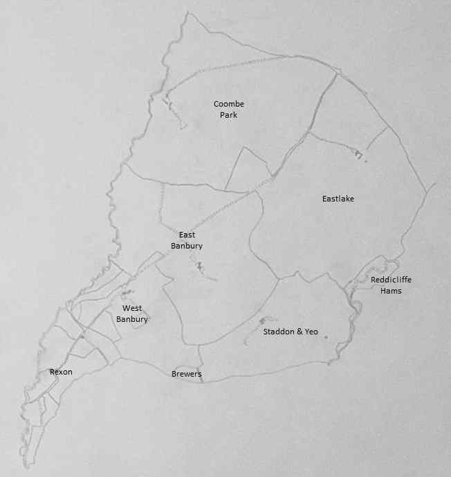
1845 Tithe Map 2
Published
24 July 2013
at
652 × 689
in
1845 Tithe Map 2
Next →
Leave a Reply
You must be
logged in
to post a comment.
Leave a Reply
You must be logged in to post a comment.